Thursday, April 16, 2015

San Jacinto- Snow Camp


San Jacinto- Snowshoeing, Backpacking, Camping, Hiking

As part of the Wilderness basics Course, Sierra Club I ventured on a snow camp. San Jacinto is one of the mountains that gets snow and is part of the six pack of peaks (10,834 ft) . We took the palm springs route and the tram to reach 8000 ft. 


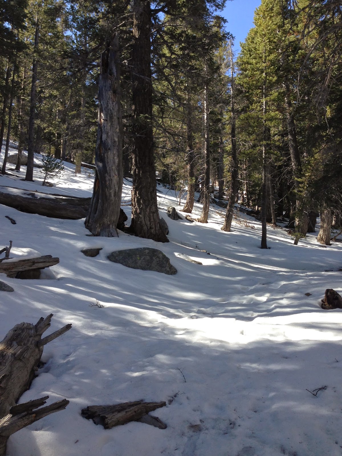
The icy trails made us to put on the snowshoes for better traction. 


We backpacked to the round valley for about 1.5 to 2 mile to setup camp.


Round valley and Tamarack valley have pretty good campgrounds


We did some cross country hiking across steep valleys in the hope of climbing Cornell peak. The views up there were spectacular.


The reason you want to climb those peaks are the inexplicable views


The 360 degree view from what we thought was Cornell peak. Unfortunately we saw that the adjacent one was the intended peak and not the one we climbed up. So much for reading the map wrong :P


Camping on the snow was a great experience. I survived the night and below freezing temperatures.


This reminded me of a "magical world..lets go exploring" view from Calvin and Hobbes :)


All I want to is to sit and stare..


San Jacinto is one of the best places to hike, snowshoe and for altitude training.


May the peace of the wilderness be with you ! :)
Happy Trails!


Saturday, April 11, 2015

California Riding and Hiking trail


California Riding and hiking trail- Anza Borrego

This trail extends for over  1000 miles which was originally built for hikers and riders. Even though it was envisioned to be built for 3500 miles, only 1000 of it was built and crosses over several parts of southern claifornia like Anza Borrego, Joshua tree, Cuyamacas etc.

We ventured into the trail in Anza Borrego that starts next to the Culp valley campground. As usual, it had lot of amazing vegetation.


No wonder, this trail gave rise to the idea of thru-hiking trails like PCT


I can never get enough of the Anza Borrego badlands view. Mesmerizes me every time.


The first look of the mystic Salton sea. Almost a mirage in the desert.


We went through the trail for about 5 miles gaining and losing 700 ft of elevation and exploring desert plants.


Best part of the trail and my best pic of this trail


Venture into this part of the riding and hiking trail and you wont be disappointed.


Happy Trails!

Wednesday, April 1, 2015

Hellhole Canyon, Maidenhair Falls

Place- Hellhole canyon, Maidenhair Falls
Camping- Culp Valley campground
Roundtrip- Around 4 miles
Difficulty- Can get difficult depending on time of the year


You can drive to the Hellhole canyon trailhead directly, or decide to camp at Culp valley campground. Culp valley campground is great, free and lot of empty spots to pitch the tent. 


Once you start the hike, you have amazing views ahead and behind.


Looks like a painting.


Its amazing seeing the varied vegetation in the desert. You would think nothing grows there but cactii. I was so wrong!!


below picture is Teddy Bear Cholla. It looks so warm, fuzzy and adorable. But they have a way to getting stuck to you and it is tough to get rid of the thorns! :-O


Our first look from the canyon.


En route to Maidenhair Falls.


Beautiful wildflowers blooming.


Oasis in the desert- Pam groves!! God bless them.


Perfect spot to have lunch and take a nap :)


We reach the destination- Maidenhair Falls, named after the plant Maidenhair. they grow everywhere around the falls. It was disappointing as the Falls hardly had any water. 


A croaking frog was the only guest other than us ;-P


Back at the camp, looking forward to the evening dinner and campfire! ;-)


Just when the moon was rising up. Got a perfect shot!


You would kill to have this view out of your tent in the morning!


Anza Borrego  is a beautiful place with varied terrain, plains, peaks, springs and vegetation. before I visited this, I had the notion of desert to be an arid place with unbearable temperatures. I was wrong. They have thousands of species of plants and animals. They have an amazing wildflower season provided there were enough rains. It is accessible easily from the San Diego county. Great for practising your wilderness skills. I thank WBC (wilderness Basics Course) for opening my eye to this area. 


Happy Trails!

Friday, March 20, 2015

El Cajon Hike

Name- El Cajon Hike
Roundtrip - 11 miles
Elevation- 4000 ft total gain
Difficulty- Difficult

This is named the toughest hike in San Diego county. We decided to check it out :)


We had rain prediction and this was a blessing in disguise.


We have beautiful views throughout the journey. El capitan preserve is well maintained.


If you read reviews about this, everywhere they have mentioned about the ups and downs and they are not kidding!! As soon as you go up, you hit downhill and vice versa. This is not a straight climb to summit where you can relax on the way down.


Rain, it did! Although we were soaked, I would prefer this over the scorching heat in the summer. I cant imagine doing this in 80F as there is absolutely no shade.


This was the El Cajon summit. It was foggy and we could not see a thing. It was cold as hell and thanked ourselves for getting gloves and cap. Always carry your TEN ESSENTIALS!


This is the first time I climbed a peak where I saw the USGS seal :) Wohoo!


View from the summit overlooking the hiking trail.


 Wildflowers were blooming and the trail was an absolute delight.


Wild lavenders and the yellow flowers


 I like seeing the distinction between cloud and ground scenery. 


A look back and this is the gorgeous view :) :)
A giant of rocks, there is no way you can ignore him or not revere him! :)


Carry plenty of water, rain gear (depending on prediction), sunscreen and leave early to beat the heat. Also, the parking lot closes at 5PM.


HAPPY TRAILS!